Desk Report
Publish: 25 May 2024, 02:39 pm

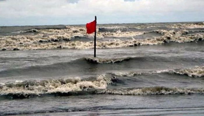
File Photo
The deep depression over east-central bay and west-central Bay is likely to intensify into a cyclonic storm by this afternoon, said meteorologists. The sources said that the storm could turn into a severe cyclone tomorrow by gathering strength before landfall. Meteorologist of Bangladesh Meteorology Department Monwar Hossain said the deep depression was located close to the Payra seaport at 9:00am.
The deep depression was located 490 km south of Payra seaport, he said, adding that it is moving towards the coast at a speed of 8 to 10 kilometres per hour.
Meanwhile the country's four seaports have been asked to display warning signal number 3 due to a deep depression over east-central Bay and adjoining west-central Bay. The deep depression is likely to intensify into a cyclonic storm which can cause up to 10 feet high tide.
State Minister for Disaster Management and Relief Mohibbur Rahman came up with this information on Saturday (May 25) afternoon and said that the deep depression in the Bay of Bengal area may turn into a cyclone by this afternoon. It may extend from Satkhira to Cox's Bazar.
Mohibbur Rahman also said that Chattogram, Cox's Bazar, Mongla, and Payra sea ports have been asked to show warning signal number 3. High tides of up to 10 feet may occur during the cyclone. At night, the warning signal number may upgraded into number 10 great danger signal.
Meanwhile, according to special weather bulletin number 6, the deep depression over East Central Bay of Bengal and adjoining West Central Bay of Bengal is moving towards North-Northeast and staying in the same area.
The depression was centered at 9 am on Saturday about 565 kms southwest of Chattogram port, 495 kms southwest of Cox’s Bazar port, 540 kms south of Mongla port and 490 kms south of Payra port.
The special notification also said that the sustained maximum wind speed within 48 km of the deep depression center is 50 kmph, increasing to 60 kmph in the form of gusts or gusts. Oceans are rough in the vicinity of deep depressions.
Meteorologists say that the cyclone may hit the coast of Bangladesh by Sunday evening after its formation. Remal could become a 'severe cyclone'. However, there is no danger of a 'super cyclone'.
When the wind speed of a cyclone is between 62 and 88 kilometers per hour, it is called a 'tropical cyclone'. A strong cyclone with a speed of 89 to 117 km, a super cyclone with a speed of 118 to 219 km and a speed of 220 km or more is called a 'super cyclone'.
It should be noted that Oman named the cyclone 'Remal'. It means sand in Arabic. There is also a city with this name 1.7 kilometers away from Gaza in Palestine.
Subscribe Shampratik Deshkal Youtube Channel
© 2024 Shampratik Deshkal All Rights Reserved. Design & Developed By Root Soft Bangladesh