Desk Report
Publish: 14 May 2023, 10:14 am

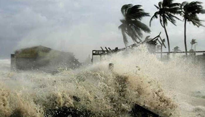
Representational Image || Photo: Collected
Cyclone Mocha is getting stronger and approaching towards
Bangladesh coast. It may turn into a Category 4 cyclone and cross Bangladesh's
coast by Sunday afternoon to evening. At that time the wind speed can be 180 to
215 kmph.
Bangladesh Meteorological Monitoring Team gave this
information on Saturday evening. A notification signed by Bangladesh Met Office
Chief meteorologist Khalid Hossain informed that the cyclone is intensifying
further and may move north-northeast from its present position. It is likely to
hit the southern part of Cox's Bazar between noon and evening on Sunday.
It may hit Cox's Bazar of Bangladesh and the neighboring
country Myanmar coast with gusts of about 180 to 215 kmph. At this time,
storm-force winds can spread over a radius of about 200-250 km. There is a risk
of a lot of damage in the coastal areas of Chattogram Division. The weather
observation team said that Cox's Bazar would be the most affected area.
The notification also informed that due to the impact of
cyclone Mocha, Cox's Bazar and Teknaf areas may be flooded with 15 to 25-feet-high
wind-driven tides. Apart from this, there may be about 12 to 15 feet tide on
Chattogram coast.
Maximum sustained wind speed within 74 km of the very severe
cyclone center is about 170 kmph, rising to 190 kph, in gusts or squalls. The
sea is very rough in the vicinity of the supercyclone center.
Maritime ports of Cox's Bazar and Chattogram have been
advised to keep the great danger signal 8 hoisted while maritime ports of
Mongla and Payra have been advised to keep the local warning signal 4 hoisted.
All fishing boats and trawlers over North Bay have been
advised to remain in shelter till further notice.
Subscribe Shampratik Deshkal Youtube Channel
Topic : Mocha Cyclone Mocha Bangladesh Bangladesh coast
© 2024 Shampratik Deshkal All Rights Reserved. Design & Developed By Root Soft Bangladesh